gvSIG Roads plugin: Updating axes of cartography
Tools of high and low axes of roads with gvSIG Roads on gvSIG Desktop.
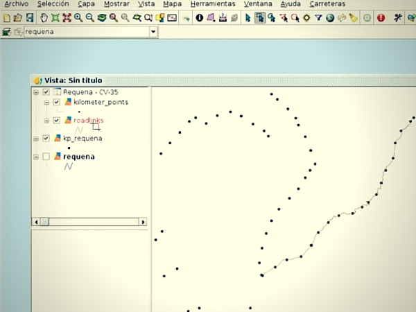
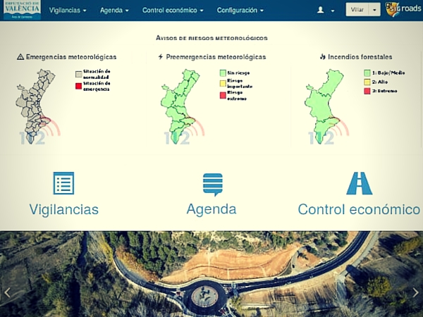
Al ser una solución integral se dispone de un potente Sistema de Información Geográfica de escritorio para las tareas cartográficas avanzadas.
Being an integral solution, it has a powerful Geographic Information System desktop for advanced cartographic tasks.
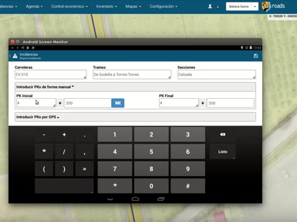
It allows to register a new axis of roads or to retire an existing one.
Includes 3D Views.
Detalles
Date: 16 Dec, 2015
Company: DISID Corporation
Tags: Plugin, gvSIG Desktop
Client: gvSIG Association
Website: http://www.gvsig.com